
OUR SERVICES
| Water Supply Survey: The water supply survey assesses the availability, quality, and distribution of water sources within the project area. It includes identifying potential water sources, evaluating water quality, determining water demand, and planning the infrastructure required for water supply systems. | 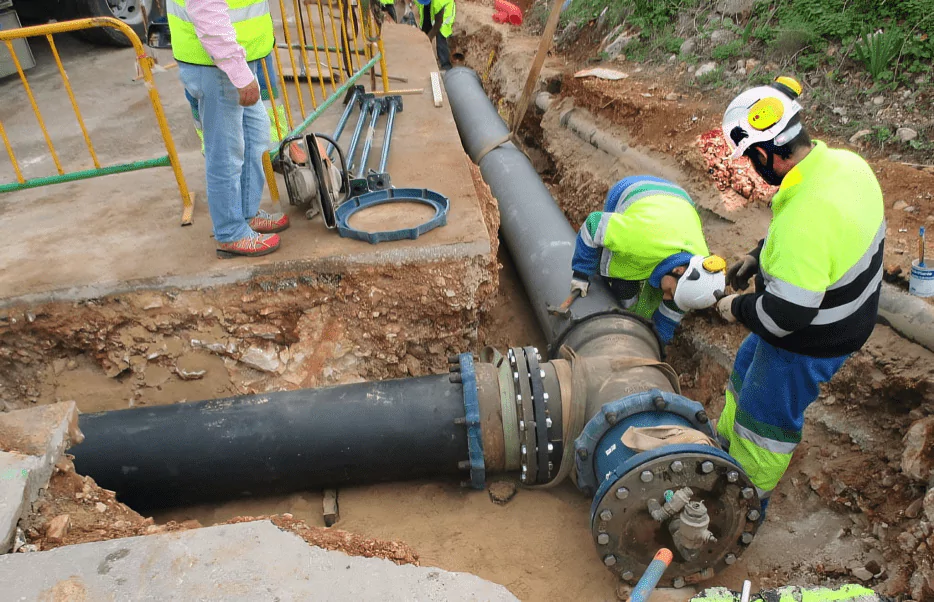 |
| UGD (Underground Drainage) Survey: The UGD survey focuses on mapping the existing underground drainage network, assessing its condition, and identifying areas requiring repair or expansion. It involves surveying the topography, locating existing drain lines, evaluating their capacity, and planning for new drainage infrastructure to ensure efficient wastewater management. | 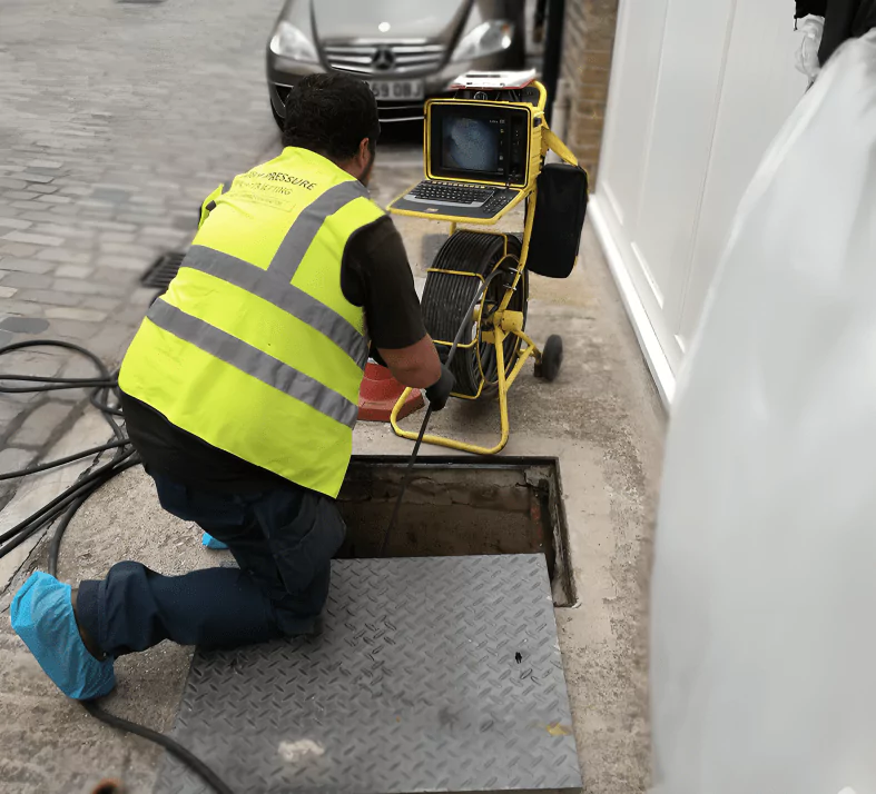 |
| Irrigation Project Survey: The irrigation project survey aims to evaluate the feasibility and design of irrigation systems to support agricultural activities. It involves analyzing factors such as soil type, water availability, topography, and crop requirements to design efficient irrigation networks that maximize water use efficiency and crop productivity. | 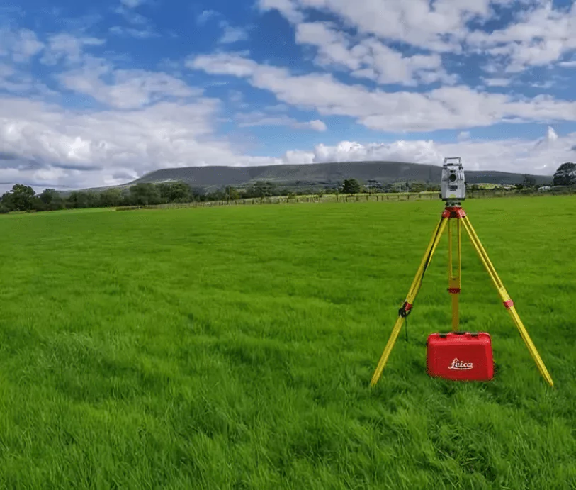 |
| Roads Survey: The roads survey involves assessing the condition of existing roads, identifying areas for repair or expansion, and planning new road infrastructure to improve connectivity and accessibility. It includes surveying the terrain, analyzing traffic patterns, and designing road layouts that meet safety and transportation needs. | 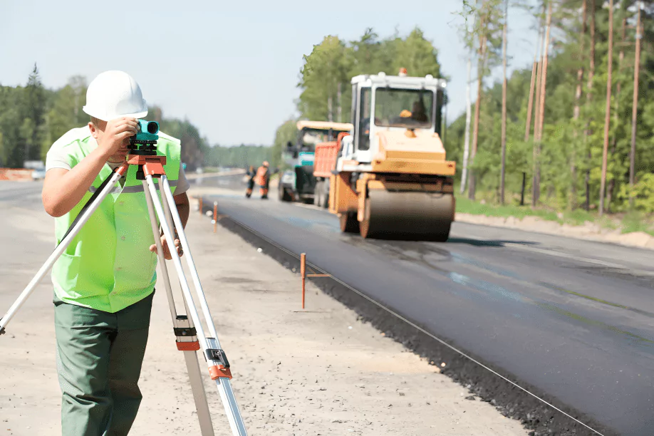 |
| Revenue Lands Survey: The revenue lands survey focuses on mapping and documenting land parcels owned or managed by the government or private entities for revenue generation purposes. It involves demarcating land boundaries, assessing land use patterns, and maintaining records of land ownership to facilitate effective land management and revenue collection. | 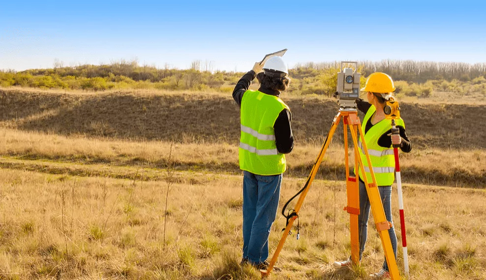 |
| Buildings Survey: The buildings survey entails assessing the structural integrity, condition, and usage of existing buildings within the project area. It includes inspecting building materials, identifying potential safety hazards, and documenting architectural features to inform renovation, maintenance, or construction plans. |  |
| Wind Power Survey: The wind power survey focuses on assessing the wind resource potential within the project area for the development of wind energy projects. It involves collecting wind speed data, analyzing wind patterns, identifying suitable locations for wind turbine installation, and evaluating the economic viability of wind power generation. |  |
| Power Plant Survey: The power plant survey evaluates the feasibility and design of power generation facilities, such as thermal, hydroelectric, or renewable energy plants. It involves analysing factors such as energy demand, fuel availability, environmental impact, and infrastructure requirements to plan and implement efficient power generation systems. |  |
| Railway Project Survey: The railway project survey involves assessing the feasibility, design, and implementation of railway infrastructure within the project area. It includes analyzing factors such as terrain, population density, transportation demand, and economic viability to plan the alignment, station locations, and operational requirements for railway networks. The survey also considers safety, environmental impact, and regulatory compliance to ensure the efficient and sustainable development of railway transportation systems. | 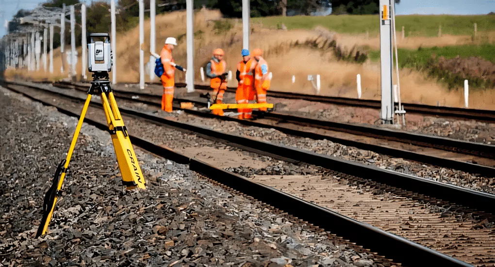 |
SHREE SAI
ENGINEERING CONSULTANTS
manjudvg.ssec@gmail.com
![]() Thulujabhavani Nilaya, #1884/48,
Thulujabhavani Nilaya, #1884/48,
2nd Floor, Jain Layout,
Kundawada Road, Davanagere,
Karnataka-577004